
- Startsida
- Go Sollefteå
- EN
- Visit us
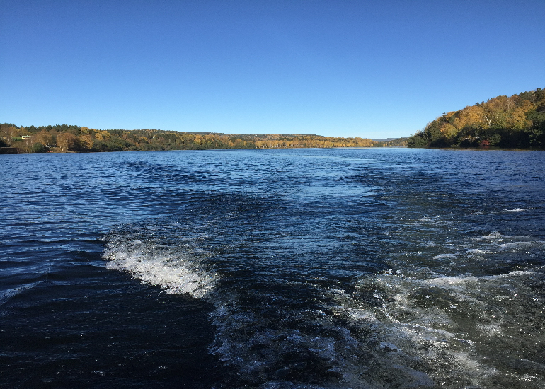
- Ångermanälven by boat
Ångermanälven by boat
We reserve the right to change lake markings due to changes in the bottom, landslips, fishing rules etcetera.
The clear height under Hammarsbron is 7.5 m and at Hågestabron 6 m.
Attention should be observed when passing under the telecommunications line at Lökom.
At normal low tide is lowest water depth at dotted line 1.2m. Normal low tides usually occur on weekends from Friday evening to Monday morning, as well as during low energy consumption occasions such as industrial holidays, long weekends, strong wind conditions and the like.
At extremely low tide minimum water depth at dotted line may be less than 1.2 m. Extreme low water can occur with strong westerly and northerly winds, as well as when the sea level is very low.
Weekdays 09:00 – 22:00 is usually the most favorable time to traffic the river when the lowest water depth at the dotted line exceeds 1.2 m.
The digital chart shows a line that you must follow. You can download it to your GPS or mobile phone below.
Consider your own equipment's technical specifications regarding measurement accuracy.
Great consideration must be given to seine and drift net fishermen.
Special attention should be paid when passing Logrunden and Grönvallsgrundet on the north side of the river.
With regard to the special current conditions prevailing in the river, no one can be held responsible for any damage that may occur.
The sea map
Download the file that fits your GPS device, export it to the device and open it